
Beyond the Road: Why America’s Wilderness Debate Is A Global Tech Story
- Tech
Arjun Vedanta
- 0
- 4 minutes read
The Unseen Maps That Precede Every Road
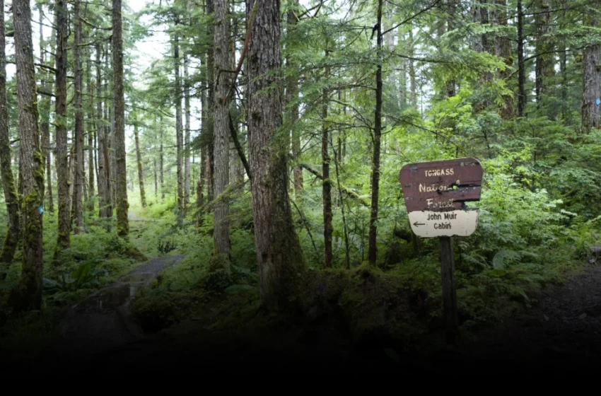
The conversation around the Trump administration’s proposed rollback of the 2001 Roadless Rule in the United States, particularly concerning swathes of federal land like southeast Alaska’s Tongass National Forest, is typically framed through the lens of environmental preservation versus economic development. Reporters embedded in Washington D.C. understandably focus on the domestic political skirmishes and the visible impact on eagles, bears, and salmon. But for anyone tracking the relentless march of global technology, the real story isn’t about the physical roads that might or might not be built. It’s about the invisible ones already etched onto our collective digital consciousness.
Consider this: while 4.2 million miles of public roads already crisscross the lower 48 states, leaving only about 5 percent as inventoried roadless area, the distinction between ‘roaded’ and ‘roadless’ increasingly feels like a relic of an analog past. Every acre of that supposed wilderness, from the dense old-growth coastal forest along the Inside Passage to remote mountain ranges, is already comprehensively mapped, analyzed, and surveilled by an array of sophisticated technologies. These aren’t just pretty satellite images; they are data layers, rich with multispectral information, elevation models, and predictive analytics.
The debate over the Roadless Rule subtly exposes a deeper tension: as geospatial and remote sensing technologies advance, the very concept of an ‘unseen’ or ‘untouched’ wilderness becomes increasingly untenable, forcing a re-evaluation of conservation in the digital age. This isn’t merely a US policy issue; it’s a global structural implication of pervasive data.
The Illusion of Undisturbed Space
For decades, the notion of ‘wilderness’ implied areas beyond human reach, places whose pristine character was defined by their inaccessibility. The 2001 Roadless Rule was designed to protect just that—preserving biodiversity, water quality, and recreational opportunities by preventing new road construction in designated areas. Yet, the advance of satellite imaging, LiDAR scans, and drone-based surveys has rendered this concept largely mythological. Every contour, every riverbed, every stand of trees within these ‘roadless’ zones is now meticulously cataloged and monitored.
We are long past the era where cartographers ventured into the unknown with compass and paper. Today, companies like Maxar, Planet Labs, and Airbus Defence and Space offer commercially available high-resolution satellite imagery that can resolve objects as small as 30 centimeters. Add to that Synthetic Aperture Radar (SAR), which penetrates clouds and darkness, and aerial LIDAR, which can map forest canopy and underlying terrain with unprecedented accuracy, and the idea of truly ‘undisturbed’ landscape, once a romantic notion, now feels quaint when even the remotest forest floor is a mosaic of pixels. The data exists whether the road does or not.
Data’s Dual Edge: Enabling Access, Enabling Oversight
The Trump administration’s push to reconsider the Roadless Rule isn’t purely about immediate economic uplift through logging or mining; it’s also about solidifying a narrative that prioritizes resource extraction and development, a framing that implicitly benefits industries providing the surveying, logistical, and heavy machinery technologies needed to unlock these new territories. With increasingly detailed digital models, engineers can plan extraction routes, assess geological risks, and predict resource yields with an efficiency previously unimaginable, even in areas once deemed too challenging to access.
This same technological capability, however, presents a profound paradox. The very tools that facilitate infrastructure development into wilderness areas are also the most potent weapons for their protection. Environmental watchdog groups, armed with access to the same commercial satellite imagery and GIS platforms, can now monitor changes in forest cover, track illegal logging, or identify pollution hotspots in near real-time. This dynamic is not unique to the US; similar remote sensing battles play out daily in the Amazon rainforest, Indonesian palm oil plantations, and Siberian taiga, where global supply chains intersect with environmental stewardship.
The current debate, therefore, isn’t just about whether to allow roads; it’s about who controls the narrative and the data that informs decision-making. As sensor networks expand and predictive analytics mature, the fight shifts from physical barriers to the interpretation and application of vast datasets. The future of conservation, whether in the sprawling US wilderness or in hyper-managed urban environments like Singapore, will increasingly rely not on what remains untouched, but on how intelligently we manage what is universally observed.
