
EU’s 24-Hour Satellite Data Delay Signals a Dangerous Shift in Global Geospatial Intelligence
- AI Infrastructure
Arjun Vedanta
- 0
- 4 minutes read
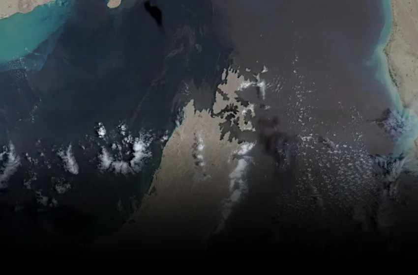
EU Satellite Image Delay: Open Data Under Threat
A 24-hour delay now governs the public release of European Union satellite imagery covering the strategically vital Gulf of Oman and Strait of Hormuz. This is not merely an operational tweak; it represents a profound erosion of the EU’s stated commitment to open data and transparency, transforming a civilian Earth observation utility into a de facto instrument of US geopolitical strategy in the Middle East.
The Council of the EU’s decision on July 13 to restrict real-time access to Sentinel-1 and Sentinel-2 data — following a May 26 request from the US government — arrives precisely as the Trump administration escalates its military posture against Iran. What was once heralded as a beacon of global data sharing, the Copernicus program, now finds its principles subordinated to external military-intelligence objectives.
This move is a sharp turn from the founding ethos of Copernicus, designed to offer free and open access to Earth observation data for environmental monitoring, civil security, and humanitarian aid. When the US government exerts pressure to weaponize this data by restricting its availability, it fundamentally compromises the program’s perceived neutrality and public benefit. The precedent set here is chilling for other international data consortia aiming for similar transparency.
Information Control in Conflict Zones: Who Benefits?
The explicit purpose of the delay is to give allied intelligence agencies an information advantage, presumably to track Iranian shipping or military movements without real-time public scrutiny. But the idea that a 24-hour delay genuinely thwarts sophisticated intelligence operations, which operate on far shorter cycles and proprietary data feeds, is almost comically naive.
Its true purpose is far more insidious: to deter independent oversight. This decision creates an information asymmetry, where only state actors with privileged access can immediately verify events in a volatile region. Journalists, researchers, and non-governmental organizations, who rely on such open-source intelligence for accountability and early warning, are now deliberately disadvantaged.
The timing of the US request on May 26, and its approval coinciding with the resumption of US military strikes on July 8 following a shaky ceasefire period, is no accident. This suggests a calculated effort by the US to control both operational awareness and the public narrative during a heightened conflict, with the EU seemingly prioritizing alliance cohesion over its own stated data sovereignty and the broader global good of transparent geospatial intelligence. The primary beneficiary is the actor seeking to control the information environment, not necessarily the one seeking operational superiority that an additional 24 hours would genuinely provide.
The Shifting Landscape of Geospatial Intelligence Access
This episode is a stark reminder that even the most ambitious open data initiatives are vulnerable to geopolitical pressures. The EU, often a proponent of digital sovereignty and data ethics, has effectively conceded a piece of its independent Earth observation capability to a foreign power’s military agenda. This sets a dangerous precedent for the broader remote sensing industry and international cooperation.
Will other nations or alliances now feel compelled to make similar demands on publicly available satellite data from programs like NASA’s Landsat or JAXA’s ALOS? The weaponization of what was once a global public good could unravel decades of progress in democratizing access to crucial environmental and security data. We are witnessing a clear pivot from data liberation to data consolidation, where access becomes a tool of statecraft rather than a universal right.
The promise of universal, unbiased Earth observation is eroding. This 24-hour delay is not just about a specific region or a single conflict; it’s a crack in the foundation of open international data norms that will be difficult to repair, foreshadowing a future where access to global satellite imagery is increasingly dictated by military imperatives, not scientific or civic ones.
